Kelowna Snowmobile Club Advancing Graystokes Trail Signage & Safety Mapping Project
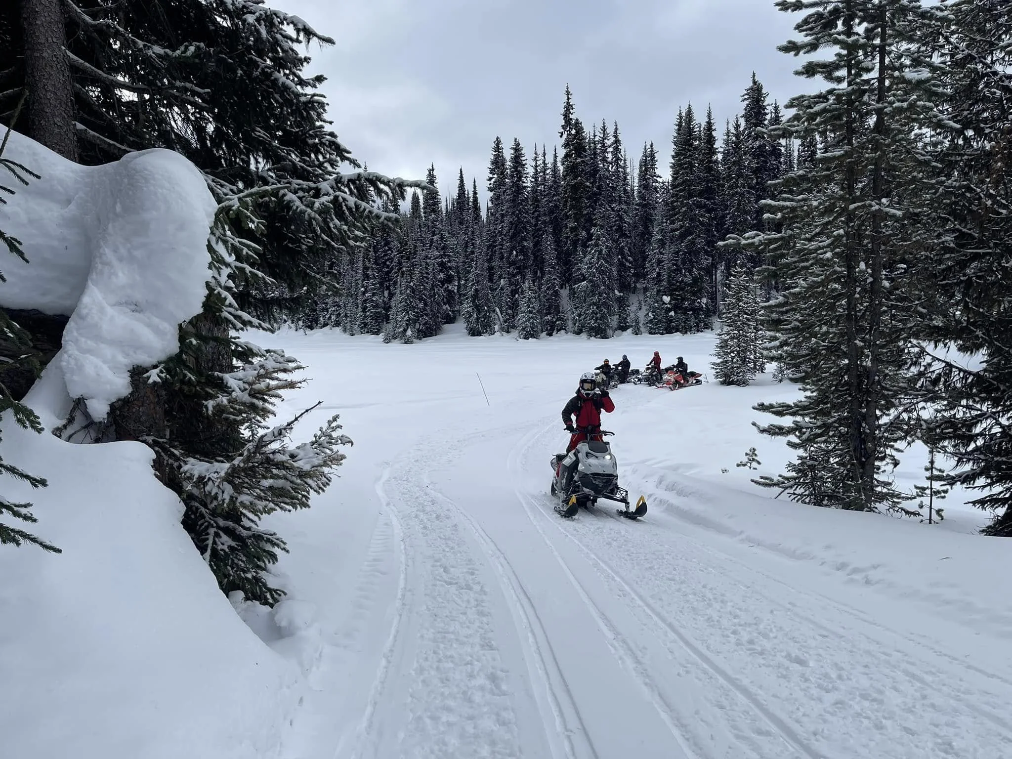
A good trail system usually feels intuitive when you are riding it.
The intersections make sense. Route and reassurance markers help riders stay oriented during poor visibility or unfamiliar conditions. Riders new to the area can better understand how the trail network connects and where they are within the system. Closure areas and permitted riding zones are more clearly communicated, helping support stewardship, compliance, and responsible riding. In emergency situations, consistent signage and location markers can also help riders and responders communicate more effectively.
Just as importantly, projects like this help maintain the quality, safety, and long-term sustainability of managed riding areas — something that becomes increasingly important as snowmobiling continues to share landscapes with other recreation users, stewardship priorities, and changing land use expectations across British Columbia.
Graystokes Trail Signage & Safety Mapping Project
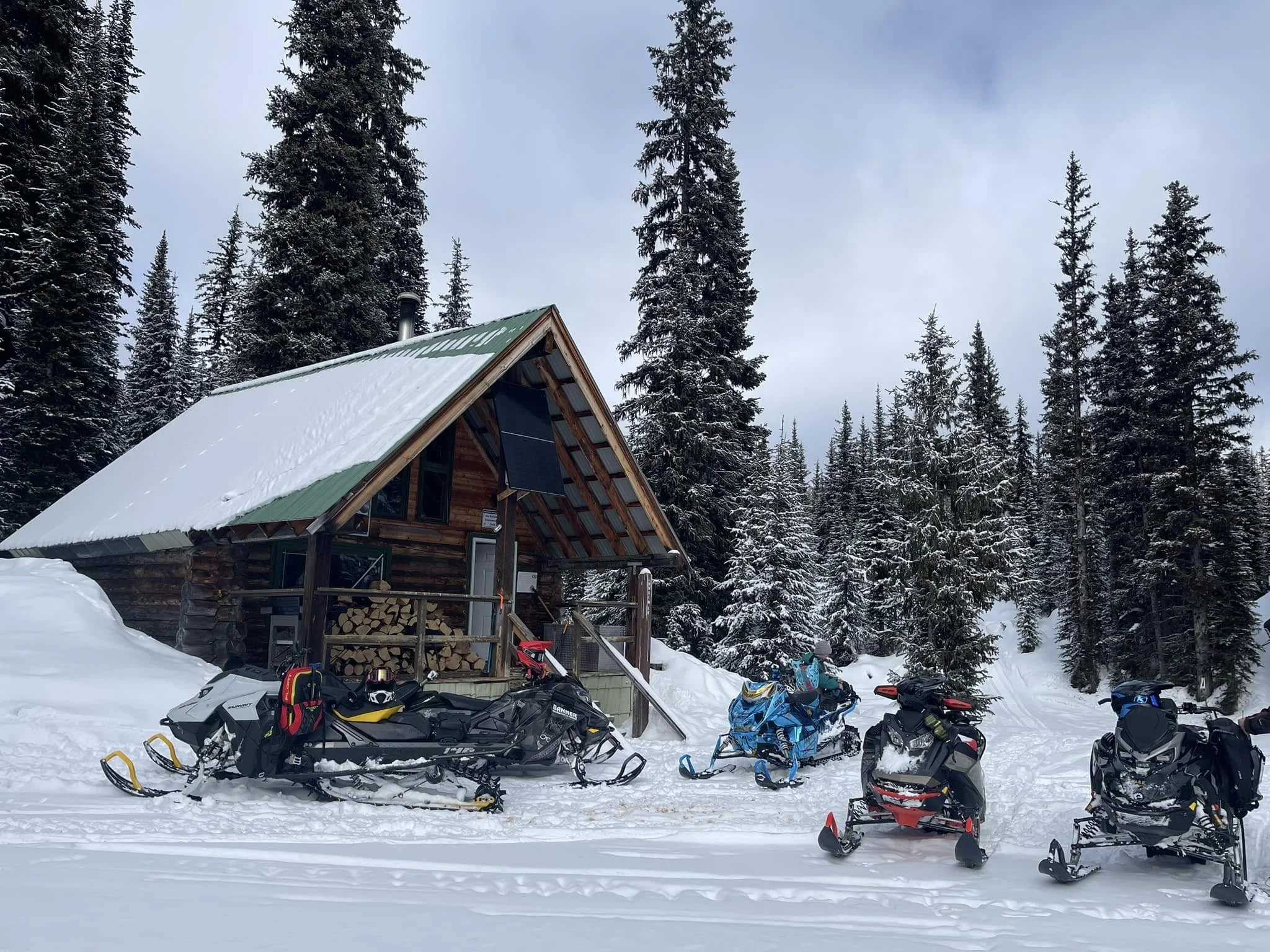
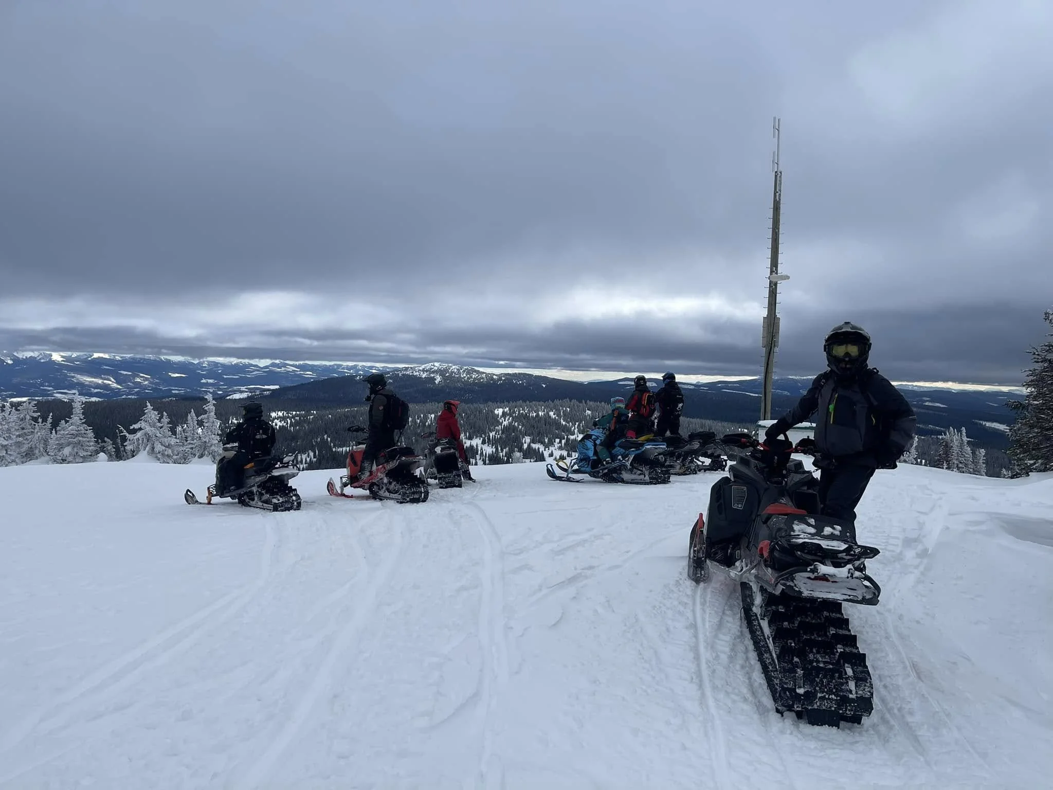
Supported through the 2025–2026 ORV Trail Fund, the Kelowna Snowmobile Club is continuing work on its Graystokes Trail Signage & Safety Mapping Project focused on improving rider safety, navigation, and route orientation throughout the Graystokes and McCulloch riding areas.
The Graystokes riding area sits within Graystokes Provincial Park, located northeast of Kelowna. Established in 2001, the park protects important wetlands, meadow systems, streams, and wildlife habitat while continuing to accommodate a variety of recreation opportunities, including snowmobiling.
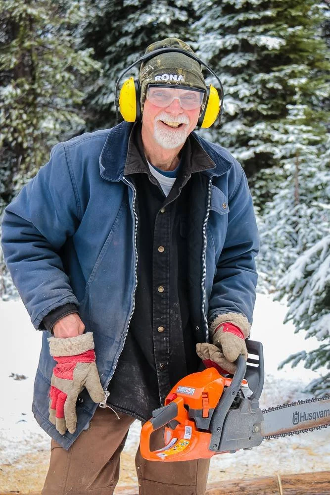
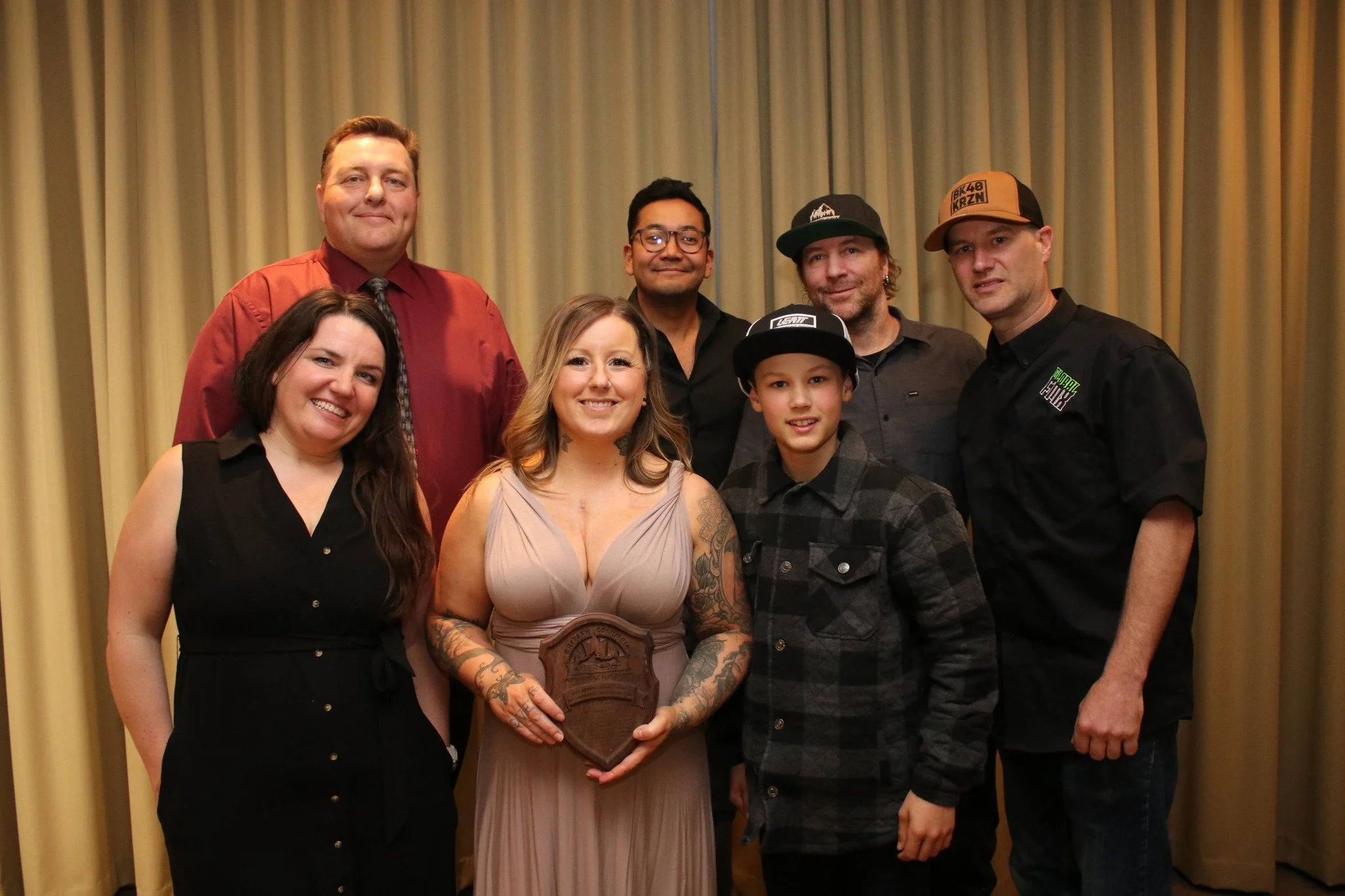
Founded in 1968, the Kelowna Snowmobile Club manages more than 300 km of interconnected trails and eight backcountry warming shelters throughout the Okanagan. The club was also recently recognized as BC’s Snowmobile Club of the Year for 2026.

Work Completed to Date
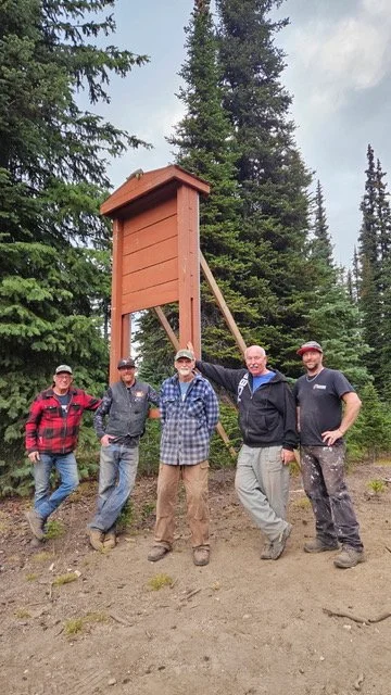
To date, the project has included:
installation of 35 steel TelePosts
new directional and permitted-use signage
installation of a BC Parks kiosk near the Hilton Emergency Shelter
updated route orientation and trail mapping development
Kelowna Snowmobile Club volunteers have already contributed more than 220 hours toward the project.
Projects like this are part of the ongoing infrastructure work happening across managed snowmobile areas in British Columbia using a combination of volunteer effort, membership dollars, ORV registration funding, and partnerships to support rider experience, stewardship, safety, and long-term access.
Thank you to the volunteers helping move this project forward. We look forward to watching the work continue to progress.